
The NSW government has officially launched its Spatial Digital Twin.
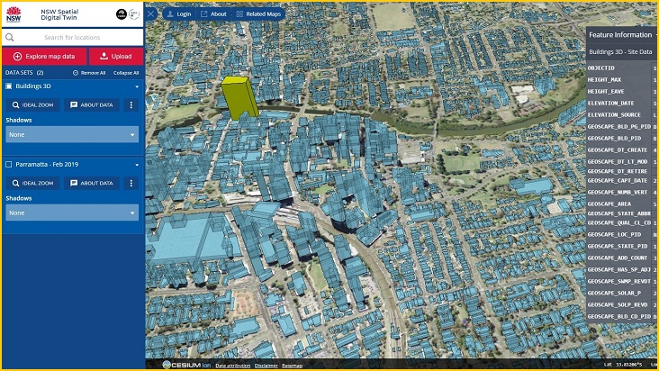
Accessible via a browser, the digital twin is a map of NSW that can be augmented with numerous data points ranging from the number of trees in an area to the detailed geospatial information of specific buildings.
Currently the most detailed areas of the map are in rapidly growing regions of Greater Western Sydney.
At the digital twin launch event on Monday morning, NSW Customer Service Minister, Victor Dominello, said the high availability of aggregated data will help with planning future development.
“Using the digital twin we can model where we put the roads, where we put the hospitals, where we put the schools with precision planning like we’ve never done before,” Dominello said.
“This is truly transformational technology and the best thing about it is it’s open source – industry can use it, councils can use it, everybody can get involved and build this asset together for all of us.”
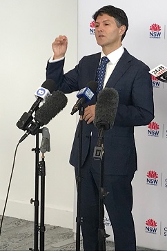
Minister Victor Dominello speaking at the launch.
Along with location data, the digital twin can include models of critical infrastructure like water pipes and electrical cabling.
It also includes a ‘reality mesh’ in certain parts of the state that lets you look at a 3D virtual models of buildings.
Created using images from Australian company Aerometrix, the high resolution 3300 square kilometre reality mesh adds extra realism to datasets.
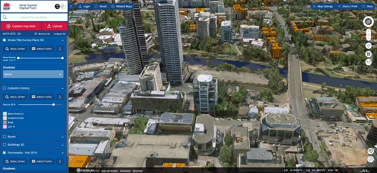
The reality mesh makes it easier to visualise changes in cities.
Featuring live transport and air quality data, the digital twin has the sense of being a living representation of a state on the verge of wide-ranging digital capabilities.
NSW hopes the project will encourage a more collaborative approach to development and city planning by allowing people to connect third-party APIs to the map.
Ben Coorey, founder of Archistar – a generative AI property design platform – told Information Age the digital twin will help ensure different property stakeholders are on the same playing field.
“That’s important for designers, developers, architects and the community because when you design, you’re designing in context so now you can easily see what buildings you’re designing around, what transport networks you’re bringing in, and how that all affects the community,” Coorey said.
“We design and develop buildings using generative design that tests different alternatives. What the digital twin will do is put designs into a common, centralised spot where everyone can start to contribute and collaborate on the project.”